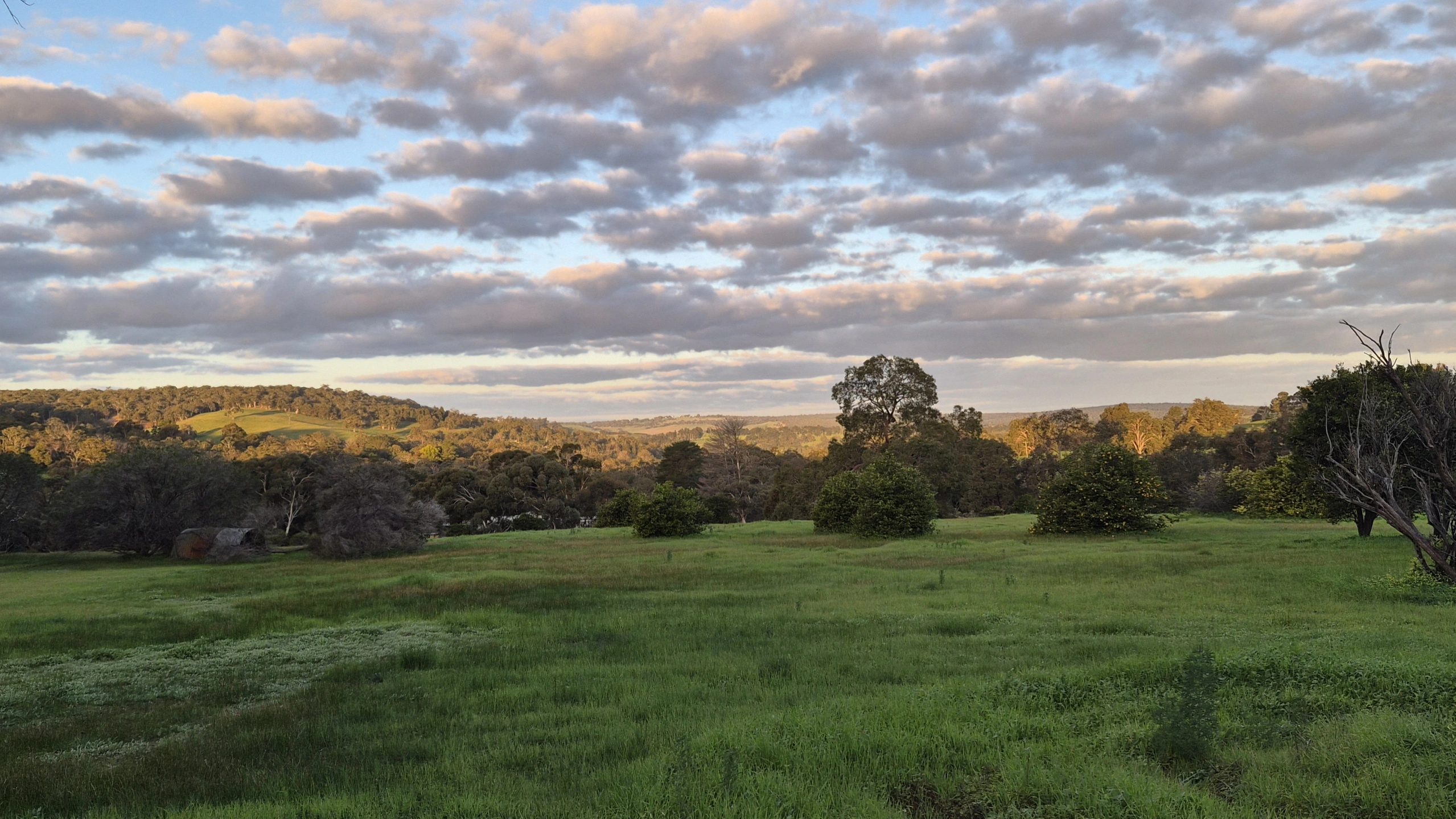
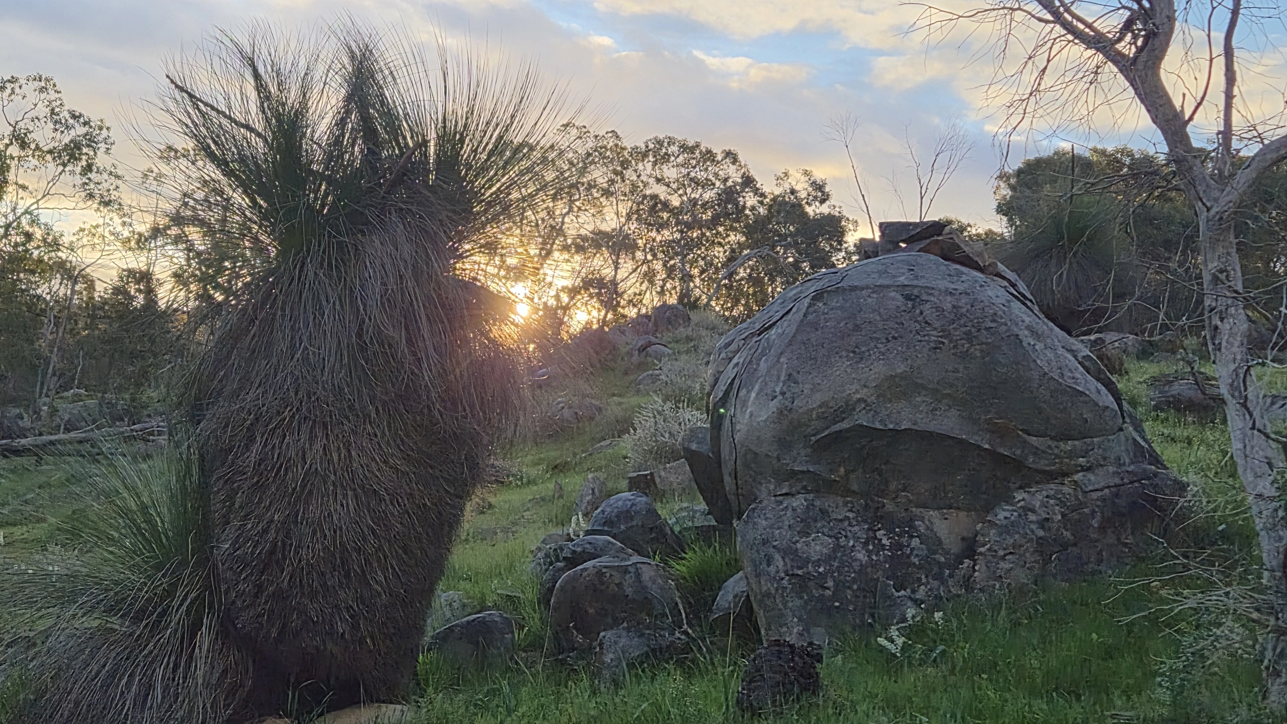
BEYOND THE MINE SITE
Gonneville is a proposed large-scale nickel-copper-platinum group elements (PGE) mining development near Julimar, approximately 70 km north-east of Perth.
The proposal extends well beyond the mine site itself. It includes an open-pit mine, processing facilities, waste rock landforms, tailings storage facilities and other supporting infrastructure. Chalice has also identified potential future underground mining.
The project also requires major infrastructure extending beyond the mine site, including water supply and electricity infrastructure extending towards the Muchea area.
A proposed off-site infrastructure corridor extends through the wider Chittering district and includes privately owned properties, including rural-residential land. The corridor is therefore an important part of understanding the overall footprint of the proposal, not simply the mine near Julimar.
The proposed mine is adjacent to Julimar State Forest, an area containing significant native vegetation and fauna habitat.
The proposal also has implications for the surrounding road network. Construction, workforce, delivery, operational and concentrate transport movements have the potential to increase heavy and light vehicle traffic on roads in the wider Chittering area, including roads associated with the Chittering Valley Scenic Drive.
The final concentrate haulage route has not yet been publicly confirmed through the environmental assessment process.
This means communities potentially affected by Gonneville extend well beyond the mine boundary and the proposed infrastructure corridor.
The Gonneville Project should therefore be understood as the mine and its associated infrastructure and activities, not the mine pit in isolation.
Why This Matters.
Gonneville is not just about what happens inside a mine boundary.
The proposal and its associated infrastructure have the potential to affect communities, properties, waterways, native vegetation, wildlife habitat, roads and the character of the places surrounding it.
We believe those impacts must be considered together — not piece by piece.
Assess the whole footprint.
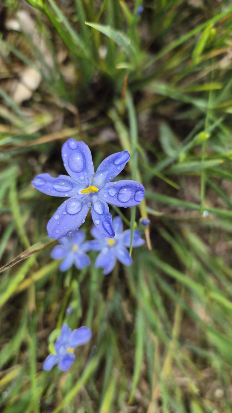
What can you do?
Stay informed. Read the evidence. Ask questions. Take part in public consultation and make submissions when opportunities open.
An informed community has a voice.
Questions people are asking
Gonneville is a proposed large-scale nickel-copper-platinum group elements (PGE) mining development near Julimar, approximately 70 km north-east of Perth.
The proposal is much more than the mine site itself. It includes an open-pit mine, processing facilities, waste rock landforms, HUGE tailings storage and other supporting infrastructure. Chalice has also identified potential future underground mining.
The project also requires major infrastructure extending well beyond the mine site. This includes water supply infrastructure and electricity infrastructure connecting the project towards the Muchea area.
A proposed off-site infrastructure corridor passes through the wider Chittering district and includes privately owned rural and rural-residential land. The corridor is therefore an important part of understanding the overall footprint of the proposal — not simply the mine near Julimar.
The proposed mine is adjacent to Julimar State Forest, an area of significant native vegetation and fauna habitat.
The proposal also has implications for the surrounding road network. Concentrate haulage and other project-related vehicle movements could add substantial heavy and light vehicle traffic to local roads, including roads through the Chittering district and the Chittering Valley Scenic Drive area. The final concentrate haulage route has not yet been publicly confirmed through the environmental assessment process.
This means communities potentially affected by Gonneville extend well beyond the mine boundary and the proposed infrastructure corridor.
The Gonneville Project should therefore be understood as the mine and its associated infrastructure, not the mine pit in isolation.
Gonneville is a proposed nickel-copper-PGE mining development approximately 70 km north-east of Perth. The proposal includes an open-pit mine, processing and other mine infrastructure, as well as off-site infrastructure for water and power. Chalice has also identified the potential for future underground mining. The proposed open-pit mine adjoins Julimar State Forest.
No. Gonneville has NOT received final environmental approval.
Despite the amount of planning, surveying and community consultation already taking place, the project is still undergoing formal environmental assessment at both State and Commonwealth levels.
In WA, the Environmental Protection Authority (EPA) has determined that Gonneville requires a Public Environmental Review (PER). An Environmental Review Document will be released for an eight-week public review period, when the community will be able to examine the proposal and make formal submissions.
At Commonwealth level, Gonneville is a controlled action under the Environment Protection and Biodiversity Conservation Act 1999 (EPBC Act). The Commonwealth decision identifies controlling provisions relating to listed threatened species and ecological communities, listed migratory species and Commonwealth land.
Importantly, the proposal being assessed is not static.
The Commonwealth EPBC Public Portal currently records Gonneville as “Considering Variation to Proposal”. This means a proposed variation is being considered while the environmental assessment process is still underway.
That matters because communities are being asked to understand and respond to a project whose proposed footprint and infrastructure are still being refined.
The environmental assessment is not simply about the mine pit. Potential impacts associated with the mine and its supporting infrastructure include native vegetation and fauna habitat, waterways, air quality and social surroundings.
So the short answer is:
Gonneville is proposed. It is being assessed. The proposal is still changing.
It has NOT received final environmental approval.
People are concerned because the potential impacts of Gonneville extend far beyond the proposed mine pit.
The WA EPA has identified potential significant effects involving air quality, greenhouse gas emissions, flora and vegetation, terrestrial fauna, landforms, terrestrial environmental quality, inland waters and social surroundings.
Community concerns extend across the whole project footprint, the mine, processing and waste facilities, water and power infrastructure, access and maintenance requirements, and the additional traffic associated with construction and operation.
Particular concerns include clearing and fragmentation of native vegetation and wildlife habitat; impacts on threatened species; changes to waterways and hydrology; dust and air quality; noise and visual amenity; increased heavy and light vehicle movements; and potential impacts on rural and semi rural communities.
The proposed off site infrastructure corridor is of particular concern because it extends through the wider Chittering district, including private properties and areas of native vegetation, bringing major infrastructure close to existing homes and wildlife habitat.
There are also concerns about increased project related traffic on local roads and the potential effects on the Chittering Valley Scenic Drive area, including road safety, rural amenity, wildlife and the character of the valley. The final concentrate haulage route has not yet been publicly confirmed.
Residents are also asking how these impacts will interact cumulatively. A mine, infrastructure corridor, vegetation clearing, traffic, noise, dust and changes to the landscape may each be assessed individually, but communities want the combined effects over the life of the project to be properly understood.
That is why many community concerns are focused not simply on the mine pit, but on the cumulative environmental and social impacts of the entire Gonneville proposal.
Gonneville requires major infrastructure well beyond the mine site.
Chalice's current base case includes an approximately 27 km dual-circuit 132 kV electricity connection between Gonneville and the Muchea area, together with an approximately 63 km pipeline to supply treated recycled water from Alkimos.
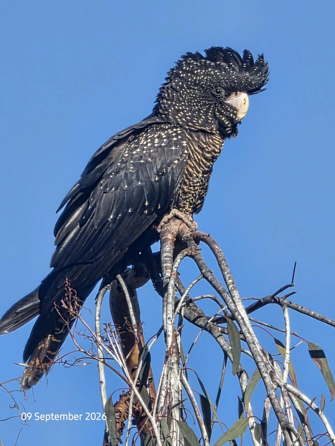
The proposed infrastructure corridor extends through the wider Chittering district, including privately owned properties and rural-residential areas. Parts of the route also intersect or adjoin significant native vegetation and habitat, including Tree Preservation Areas and areas containing Black-Cockatoo habitat and breeding hollows.
Chalice has also advised that an access road or maintenance track may be required for construction and operations and could remain for the operational life of the infrastructure.
The proposed corridor therefore involves more than simply a powerline and buried water pipeline. It has the potential to affect private properties, native vegetation, wildlife habitat, waterways and existing communities along its route.
The route is still being investigated and refined.
Yes, potentially. Threatened fauna and their habitat are a significant part of the environmental assessment of Gonneville.
The Commonwealth determined that the proposal requires assessment under the EPBC Act because of potential impacts on nationally protected matters, including listed threatened species and ecological communities.
Chalice's own March 2024 Referral Supporting Document identified a number of conservation-significant species as potentially occurring within the project's Infrastructure Development Envelope.
These include Carnaby's Cockatoo (Zanda latirostris) — Endangered, which Chalice assessed as likely to occur; Chuditch (Dasyurus geoffroii) — Vulnerable, assessed as likely to occur; and Woylie (Bettongia penicillata ogilbyi) — Endangered, assessed as possible within the development envelope.
Chalice's referral also identifies other conservation significant fauna potentially occurring within the project area, including the Forest Red-tailed Black Cockatoo, Western Brush Wallaby and Carter's Freshwater Mussel.
Potential impacts are not limited to animals being present where clearing occurs. Habitat loss and fragmentation can affect feeding areas, breeding habitat, shelter, movement between habitat areas and ecological connectivity. Roads and infrastructure can also create additional risks for fauna.
The WA EPA has specifically identified Terrestrial Fauna as one of the environmental factors requiring assessment for Gonneville.
The important question is therefore not simply whether threatened species occur in the region, but what habitat they use across the entire project footprint and how the mine and associated infrastructure could affect that habitat and its connectivity.
Yes. Water is one of the key environmental issues requiring detailed assessment for the Gonneville Project.
The WA EPA has specifically identified Inland Waters as a preliminary key environmental factor for Gonneville. The EPA's objective is to maintain the hydrological regimes and quality of groundwater and surface water so that environmental values are protected.
The issue extends well beyond the immediate mine pit. Chalice's own environmental referral states that the Mine Development Envelope lies within the Avon River catchment. The western portion drains through tributaries of the Brockman River, while the eastern portion drains into Julimar Brook. Both the Brockman River and Julimar Brook flow through surrounding rural areas before ultimately discharging into the Avon River.
Potential impacts requiring assessment include changes to surface water flows and drainage patterns, groundwater levels and movement, water quality, mine dewatering, runoff and the interaction between mine infrastructure and natural drainage systems.
The proposed off-site infrastructure corridor also crosses a wider landscape containing seasonal creeks, drainage lines and catchments. Construction of pipelines, power infrastructure, access or maintenance tracks and vegetation clearing can therefore require careful consideration of how existing surface-water flows and drainage are maintained.
This matters because waterways do not stop at project or property boundaries. Changes occurring in one part of a catchment can potentially have consequences further downstream, which is why both the mine site and associated infrastructure need to be considered as part of the wider hydrological system.
Chalice stated in its original referral that stream flow monitoring had commenced and would be expanded to characterise surface water flows and water quality both within and outside the Mine Development Envelope.
Groundwater also requires assessment. Chalice identified shallow groundwater associated with drainage-line sediments as well as groundwater occurring within weathered and fractured bedrock. The behaviour and connectivity of these groundwater systems therefore form part of understanding the potential effects of mining and dewatering.
The key question is not simply whether a creek or river is directly disturbed. It is whether the project could alter the quantity, quality, timing or movement of surface water or groundwater across the wider catchment and how those changes would be prevented, managed and monitored over the life of the project and after closure.
Yes. The public can still have a say and several important formal processes are still ahead.
The Gonneville Project has not received final environmental approval. It remains subject to State and Commonwealth environmental assessment.
Under the WA assessment, the EPA has required a Public Environmental Review (PER) with an eight-week public review period. When Chalice's Environmental Review Document is released, members of the public will be able to examine the detailed environmental studies, proposed infrastructure, predicted impacts and proposed management measures and make formal submissions.
Those submissions are an important part of the assessment process. They can raise issues including flora and vegetation, threatened fauna, waterways, air quality, noise, traffic, social surroundings, cumulative impacts and the proposed off-site infrastructure corridor.
The Commonwealth assessment is also not complete. Gonneville is being assessed under the Environment Protection and Biodiversity Conservation Act 1999 (EPBC Act) and the Commonwealth portal currently records the project as “Considering Variation to Proposal.”
There will also be separate opportunities for affected people to participate in processes associated with mining tenure and off site infrastructure. For example, a miscellaneous licence under the WA Mining Act can be used for infrastructure such as roads and pipelines. Applications for mining tenements can be formally objected to through the Mining Act process, with objections dealt with through the mining registrar/Warden's Court system.
Under the current Mining Regulations, an objection to a mining-tenement application is generally lodged within 35 days of the application. Where the application relates to private land, different timing provisions apply: the period is the later of 21 days after service of the required notice or 35 days after the application is lodged, unless the Warden allows further time.
So the opportunity for community participation is not over.
People can continue following the assessment, examining newly released documents, making submissions during formal consultation periods and, where legally available and relevant to them, using statutory objection processes.
The important thing is to watch for formal notices and submission deadlines because some statutory opportunities have strict time limits.
Not publicly.
No final concentrate haulage route has been formally disclosed to the wider community through the environmental assessment documents currently available.
This is significant because Gonneville would generate substantial freight and other project-related vehicle movements over the life of the mine, potentially affecting local roads, residents, schools, businesses, wildlife and the rural and scenic character of the surrounding area.
Chalice has investigated road and rail logistics options for transporting product from Gonneville. In July 2025, the company reported that logistics routes and costings had been completed for trucking and rail options to both Bunbury and Geraldton ports, with optimisation and route selection then expected to be finalised.
However, the original environmental referral did not identify a definitive concentrate haulage route. The Commonwealth project description continues to state more generally that supplies and product would be transported using road and/or existing rail infrastructure.
Potential road routes have nevertheless been discussed with government and local-government representatives, while the wider community has not yet been provided with a definitive publicly assessed route.
This matters because the environmental and social effects of haulage cannot be fully understood without knowing which roads would be used, the number and type of vehicle movements, operating hours, required road upgrades and the communities and environmentally sensitive areas along the route.
For the Chittering community, particular questions remain about potential heavy-vehicle movements through the Chittering Valley Scenic Drive area, road safety, school and local traffic, wildlife strike risk, noise, amenity and impacts on the character of the valley.
Until a final proposed haulage route and supporting traffic assessment are publicly released, communities along potential routes cannot fully assess how Gonneville's transport requirements could affect them.
Yes. Tailings storage is one of the significant long term environmental issues that must be assessed for the Gonneville Project.
Processing ore produces finely ground waste material known as tailings. Gonneville's proposal includes a tailings storage facility within the mine development area, along with waste rock landforms and other mine infrastructure.
Chalice's own March 2024 environmental referral identifies “acid, saline and/or metalliferous drainage in waste rock landforms and tailings storage” as a potential environmental impact. It states that geochemical assessment would be undertaken to determine whether materials are expected to generate acid and/or metalliferous drainage and that management strategies would be developed where required.
This matters because some mine wastes can contain sulphide minerals which, under certain conditions, can react with air and water and produce acidic drainage. That drainage can mobilise metals and other elements. Whether this will occur at Gonneville, to what extent, and how it would be contained are matters requiring detailed geochemical testing and environmental assessment.
Tailings management also raises questions about seepage, groundwater, surface-water runoff, structural stability, extreme rainfall events, dust from exposed material, rehabilitation and the long-term performance of the facility after mining ends.
Water is particularly important because the Gonneville mine area sits within the wider Avon River catchment, with drainage ultimately connected through systems including the Brockman River and Julimar Brook. This does not mean contamination will reach those waterways, but it makes the effectiveness of containment, monitoring and long-term water management particularly important.
The WA EPA has identified both Terrestrial Environmental Quality and Inland Waters among the environmental factors requiring assessment for Gonneville.
Important information still needs to be examined through the environmental review, including the characteristics of the tailings, the final storage design, seepage and water-management controls, monitoring arrangements, closure strategy and how the facility would remain environmentally safe in the long term.
A tailings storage facility does not disappear when mining finishes. Its environmental performance therefore needs to be considered not only during the proposed mine life, but through closure and into the future.
Dust generated by mining, associated infrastructure and project related traffic is an important issue for rural households that rely on roof-collected rainwater for drinking and domestic use.
Mining activities can generate airborne dust through vegetation clearing, earthworks, blasting, excavation, crushing and processing, stockpiles, waste rock handling, vehicle movements and unsealed roads.
Project-related heavy vehicle movements may also contribute to airborne particulate matter through road dust, resuspension of deposited material, tyre and brake wear and exhaust emissions. This means the issue is relevant not only to properties near the mine, but also potentially to rural households along the eventual haulage route.
Rainwater tanks collect water from roofs, but roofs also collect airborne particles deposited between rainfall events. When rain falls, accumulated material can be washed from the roof and gutters towards the household water supply.
WA Department of Health guidance recognises industrial dust, nearby industrial emissions and heavy road traffic as possible sources of contamination of collected rainwater.
The composition of the dust is also important. Gonneville would mine and process an orebody containing nickel, copper, cobalt, platinum-group elements and gold. Understanding the composition, movement and deposition of project-generated particulate matter is therefore an important part of assessing possible impacts on surrounding communities.
For households dependent on rainwater, the fundamental question is whether the risks to their drinking water supply have been adequately identified, assessed and protected against both near the mine and along the eventual haulage route.
Cumulative impacts are the combined effects of multiple activities and changes occurring across a landscape over time.
For Gonneville, the community is not concerned about only one mine pit or one piece of infrastructure. The proposal involves a large mining operation together with processing facilities, waste rock landforms, tailings storage, water and power infrastructure, vegetation clearing, access and maintenance requirements, construction activity and substantial project related traffic.
Each component may have its own environmental and social effects. When those effects occur together, however, their combined impact can be different from considering each one separately.
For example, vegetation clearing may affect habitat in one location, while roads and infrastructure affect wildlife movement elsewhere. At the same time, additional traffic, noise, dust, lighting and human activity may place further pressure on the same landscape and communities.
Cumulative impacts can also develop over time. Construction impacts may be followed by decades of mining, infrastructure operation, maintenance and transport activity, followed eventually by mine closure and rehabilitation.
This is particularly important in a rural landscape where environmental values, wildlife corridors, waterways, farms, homes, tourism, scenic amenity and local roads are interconnected.
The community therefore wants the environmental assessment to consider the Gonneville Project as a whole, including the mine, associated infrastructure and transport requirements and to properly understand the combined effects across the life of the project.
Looking at individual components alone may not tell the whole story.
A project of Gonneville's scale would introduce additional industrial activity, heavy and light vehicle movements, workers and infrastructure into a predominantly rural area.
This creates an important issue for surrounding communities: whether existing local and regional emergency services have the resources, equipment, training and response capacity required for incidents associated with a major mining operation and its supporting transport and infrastructure network.
Potential emergencies are not confined to the mine site. Incidents could occur on local roads or along infrastructure and transport routes, potentially requiring responses to vehicle crashes, fires, medical emergencies, hazardous-material incidents or other industrial emergencies.
Many emergency services in rural communities also rely heavily on volunteers. Major incidents can require specialist capabilities and resources that may not be immediately available locally.
Road incidents are a particular community concern because project related traffic would share roads with residents, school traffic, tourists, agricultural vehicles and other road users. The final concentrate haulage route has not yet been publicly confirmed through the environmental assessment process.
Emergency response capacity is therefore part of the wider community impact of the project.
The question is not simply what emergency arrangements exist within the Gonneville mine site, but whether communities and emergency services across the wider area affected by the mine, infrastructure and transport network are adequately prepared and resourced for the additional demands the project could create.
The Chittering Valley Scenic Drive is more than a transport route. It passes through a rural landscape valued for its scenery, farms, native vegetation, wildlife, tourism and the character of the Chittering Valley.
Gonneville raises concerns about how project related transport and infrastructure could affect those values.
One of the most significant unresolved issues is concentrate haulage. The final haulage route has not yet been publicly confirmed through the environmental assessment process, meaning communities cannot yet fully assess which local roads would carry mine related heavy vehicles or the extent of those movements.
If project traffic uses roads through the Scenic Drive area, the effects would need to be considered in the context of existing residents, school traffic, tourists, cyclists, agricultural vehicles and wildlife.
The concern is not limited to traffic numbers. Increased heavy vehicle movements can also affect noise, road safety, wildlife strike risk, road condition and the experience of travelling through what is promoted as a scenic rural landscape.
The proposed off site infrastructure corridor raises a separate landscape issue. Major power and water infrastructure, vegetation clearing and associated access or maintenance requirements could alter parts of the rural landscape well beyond the mine site itself.
These changes may persist for decades.
For the Chittering community, the question is therefore not simply whether the project can physically operate within the region, but how its infrastructure and transport requirements could change the landscape, amenity and character that make the Chittering Valley Scenic Drive distinctive.
Until the final haulage route and detailed infrastructure plans are publicly available, the full implications for the Scenic Drive and surrounding communities cannot be properly understood.
Wildlife habitat is not simply a collection of individual patches of vegetation. Animals need connected landscapes that allow them to move between feeding areas, breeding habitat, shelter, water and other parts of their home ranges.
Habitat fragmentation occurs when previously connected habitat is divided or disturbed by clearing, roads, infrastructure or other development.
For Gonneville, this issue extends beyond the mine site. The proposed off site infrastructure corridor, associated access and maintenance requirements and project related roads and traffic could affect ecological connectivity across the wider landscape.
This is particularly important for species that move over large areas or depend on different habitats at different stages of their lives. Black cockatoos, Chuditch, Woylie and other native fauna do not recognise property boundaries or project development envelopes. They use landscapes.
Fragmentation can affect wildlife even where some vegetation remains. Narrowing or separating habitat can change how animals move through the landscape, increase the distance between suitable habitat areas and potentially expose fauna to additional risks such as vehicles, predators, disturbance and human activity.
Mature native trees can also have ecological importance far beyond their individual footprint. They may provide hollows, shelter, feeding resources or stepping stones between larger areas of habitat.
This is why simply measuring the total number of hectares proposed to be cleared does not necessarily describe the full ecological effect.
The location and configuration of clearing matters too, particularly where infrastructure intersects existing habitat connections, waterways, native vegetation and areas used by threatened and other conservation significant fauna.
Protecting ecological connectivity therefore requires looking at the landscape as a functioning system, rather than assessing individual patches of vegetation in isolation.
Yes. The impacts of Gonneville are not confined to land within the proposed mine site.
The proposed off site infrastructure corridor extends across the wider rural landscape and includes privately owned land. Depending on the final alignment and design, associated infrastructure could affect rural properties through vegetation clearing, construction activity, access requirements and the presence and ongoing maintenance of major infrastructure.
For affected landholders, a property is not simply a line on a project map. It may be a family home, farm, business, wildlife habitat or a property that has been established and cared for over many years.
The surrounding district also contains productive agricultural land. Infrastructure can affect how rural properties are used by dividing paddocks, changing access, removing vegetation or introducing permanent infrastructure into areas previously used for farming or rural living.
There are also broader questions about rural amenity. Construction activity, noise, dust, traffic, visual changes and ongoing maintenance can affect people who live close to infrastructure even where the infrastructure does not physically cross their property.
This distinction is important. A landholder does not necessarily need to have infrastructure located on their title to experience changes to the use and enjoyment of their home or property.
The long term nature of the proposal also matters. Infrastructure constructed to support a mine operating for decades could become a lasting feature of the rural landscape.
For affected communities, the issue is therefore not simply whether infrastructure can technically be constructed through the area, but what that infrastructure could mean for existing homes, farms, land uses and the rural character of the district.
Compensation for landholders is not as simple as saying that everyone affected by the Gonneville Project will be compensated.
Under the WA Mining Act, owners and occupiers of land where mining activities take place may have rights to compensation for certain loss and damage. This can include matters such as loss of use of land, damage to the surface or improvements, severance of land, interference with rights of way, disruption to agricultural activities and social disruption.
Compensation may be agreed between the parties or, where agreement cannot be reached, determined through the Warden's Court process.
However, the situation can be very different for people who live near mining infrastructure without that infrastructure physically crossing their property.
A neighbouring household may experience changes to rural amenity, landscape, noise, traffic, dust, lighting or the enjoyment of their property even though no part of the infrastructure is located on their title.
Whether compensation would be available for those impacts depends on the particular circumstances and applicable law. Living close to project infrastructure does not, by itself, mean that compensation will automatically be paid.
This distinction is important for the Gonneville infrastructure corridor because some landholders may have infrastructure proposed across their properties, while others could live immediately beside it.
For affected communities, one of the important unresolved questions is therefore not only what impacts will be avoided or mitigated, but what protections and remedies will actually be available to people who experience lasting impacts from infrastructure located on or near their homes and properties.
Human health and wellbeing are important considerations when assessing a major development that may operate near established communities for decades.
For Gonneville, community concerns extend beyond individual issues such as dust, noise or traffic. People may experience several changes at the same time, including increased industrial activity, heavy vehicle movements, construction disturbance, changes to the landscape and major infrastructure near homes and properties.
Physical health concerns include air quality, dust and particulate exposure, noise and the protection of household drinking water supplies, particularly for properties reliant on rainwater tanks.
Wellbeing matters too.
For affected landholders, prolonged uncertainty about proposed infrastructure, possible changes to their homes and properties, and future amenity can contribute to significant social and wellbeing impacts.
The impacts may also be experienced very differently. A landholder whose property is crossed by infrastructure, someone living immediately beside it, or a household along a future haulage route may face very different circumstances.
The WA EPA has identified Social Surroundings as one of the environmental factors requiring assessment for Gonneville.
Human health and wellbeing should therefore be considered alongside the environmental impacts of the project, including who may be affected, how they may be affected and for how long.
What's at stake?
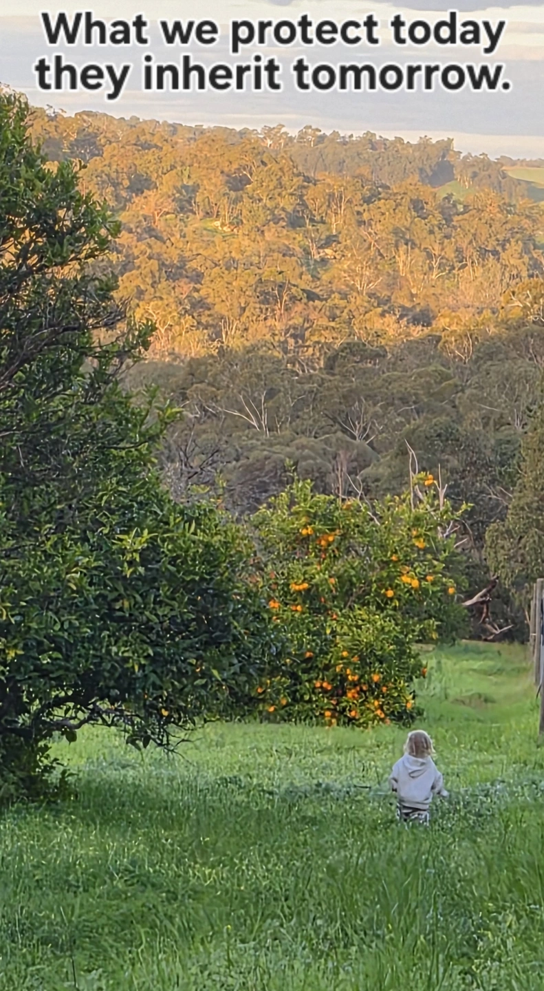
Homes and Communities
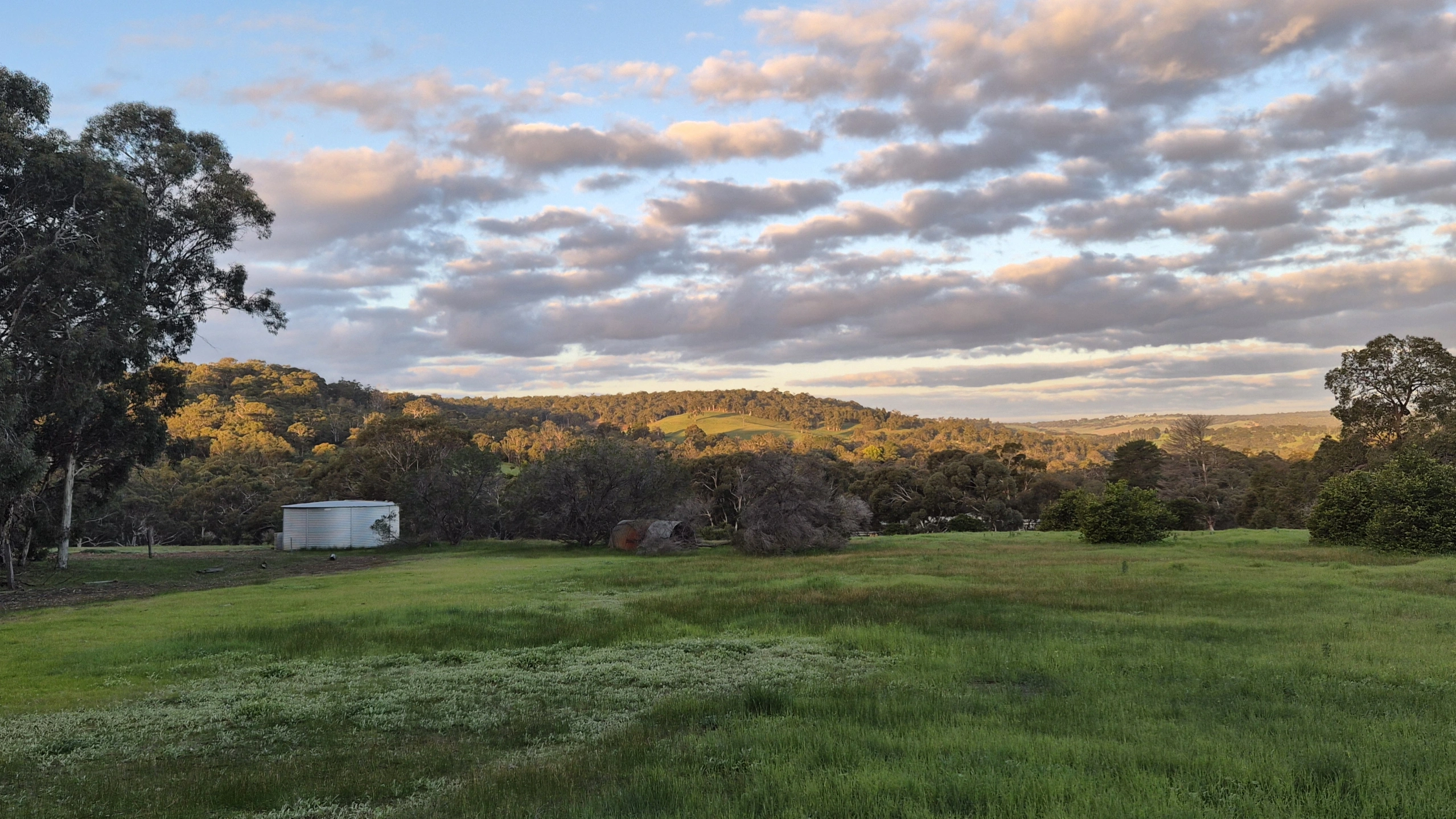
Gonneville’s impacts extend beyond the mine site. Homes, properties and communities will be affected by associated infrastructure, traffic, noise, dust and changes to the places people live.
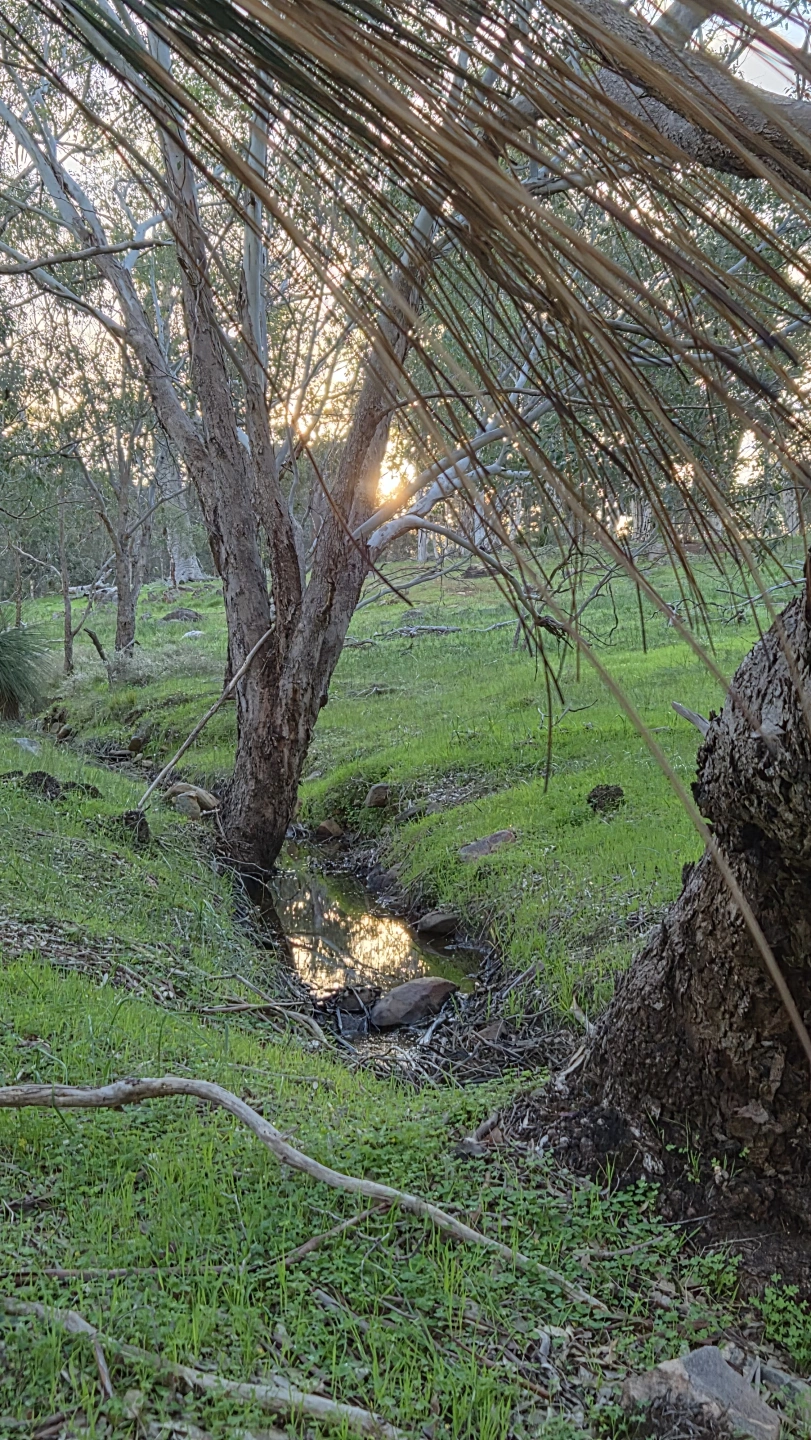
Waterways and Wetlands
Waterways connect landscapes and communities. Changes to drainage, water quality and catchments can carry impacts well beyond the project footprint.
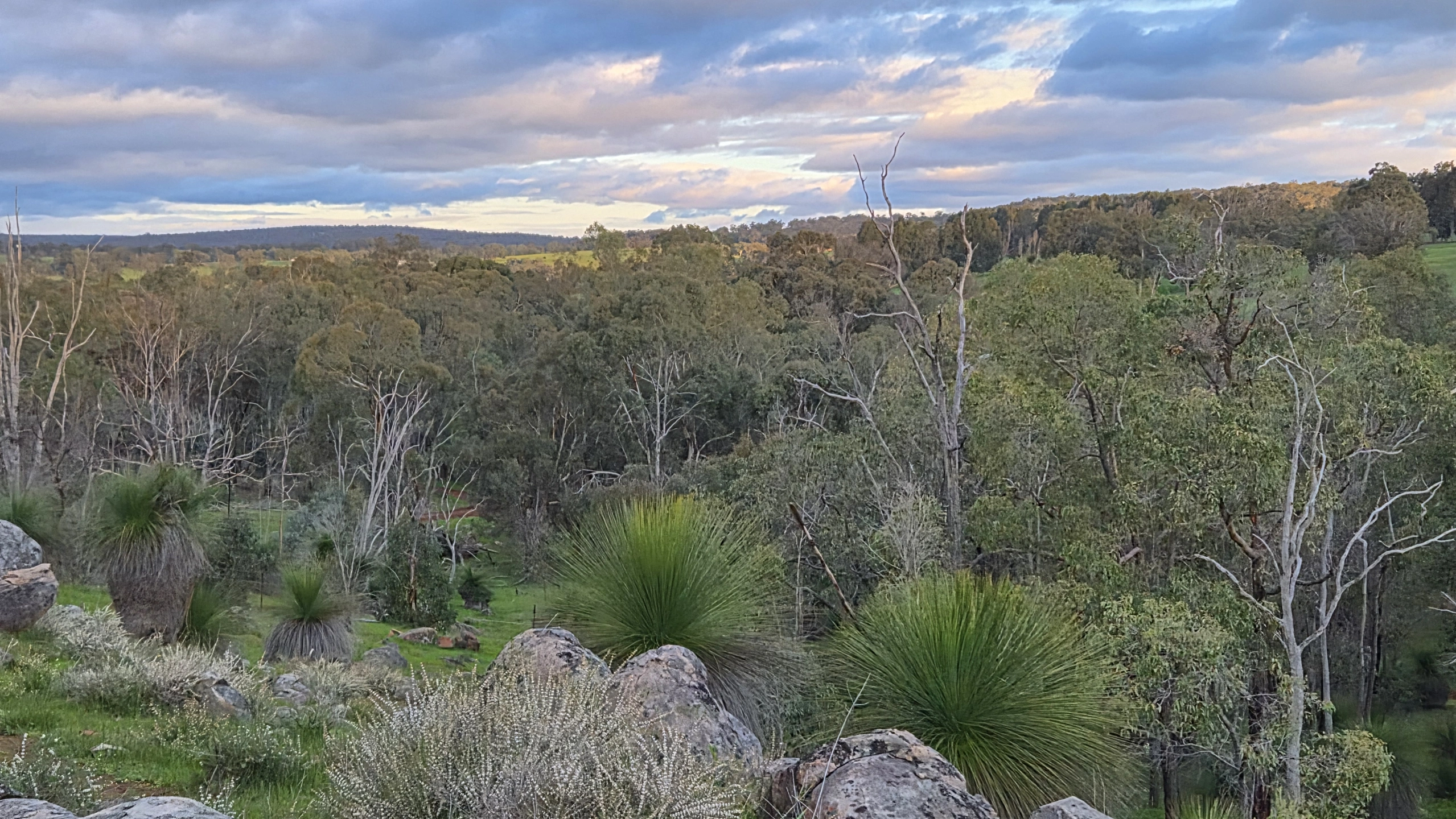
Landscape and Heritage History
These landscapes have environmental, cultural and community value. Development can permanently alter scenic character, natural areas and places that help define the Chittering Valley.
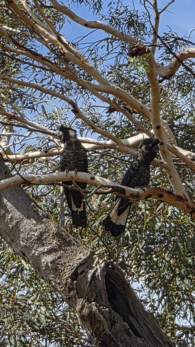
Wildlife and Habitat
Native vegetation provides vital breeding, feeding and movement habitat. Clearing and fragmentation can threaten the ecological connections wildlife depends on.
WRONG PROJECT. WRONG PLACE.
Why should an existing community be retrofitted to accommodate a mine's industrial infrastructure?